- Winter Recap, Mr. Freeze tonight, Rainy chilly roller coaster
- Today Wintry Mix Storm, Big Snow Dawg Barking Thursday??
- Winter Storm #4 and #5, Earth’s Rumbling
- Ice Ice baby verifies, Saddle Up Cowboys and Girls – YEEHAW!! USAID Really?
- Thursday Winter Storm, Pattern is ABSOLUTLETY LOADED – SUPER BOWL STORM
- Clipper Verifies, Vanilla Ice Baby = Thursday Winter Storm
Massive Storm, Coldest Xmas Eve Since?, Major Thaw then….
Related Articles
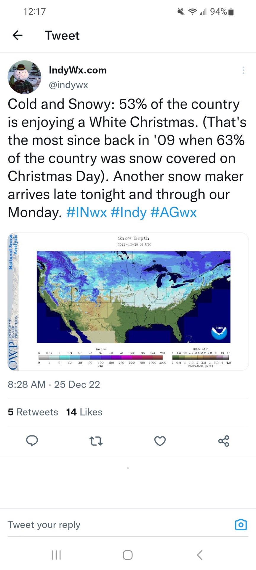
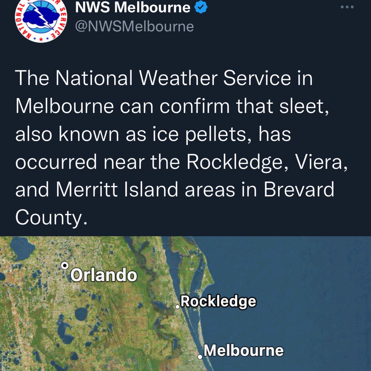
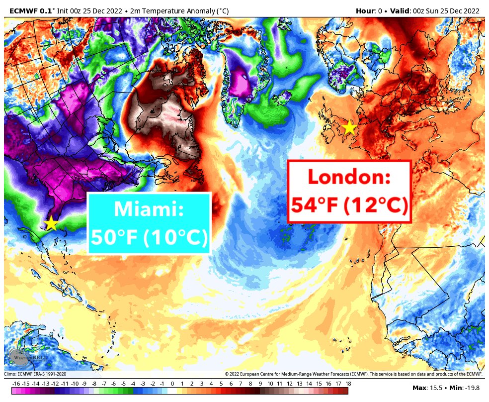
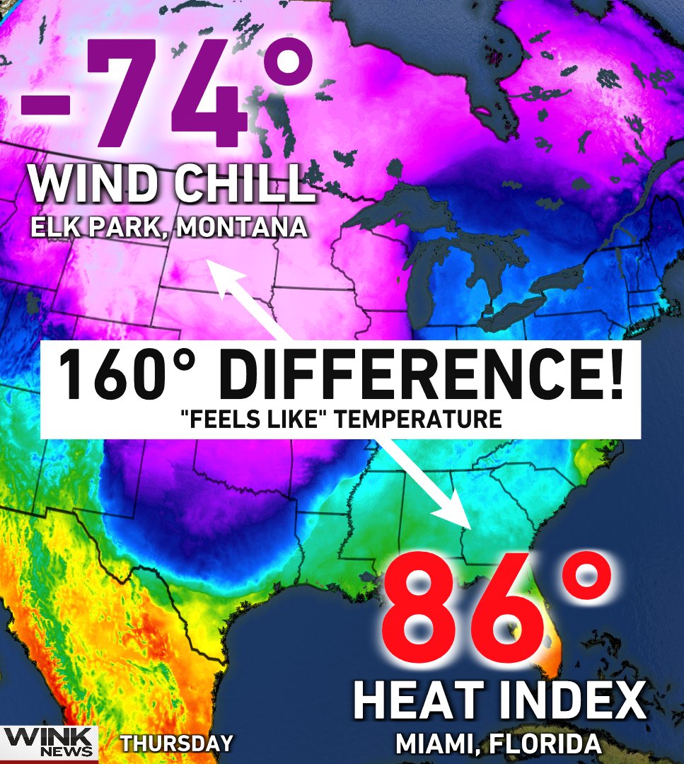
The storm that slammed the upper Midwest, Great Lakes Region casued over 48 deaths so far, 1200 flights cacnelled, thousand of strnded holiday travelers, storms surges and flooding not seen since Sandy, 2/3 of the country under some type of winter weather advisory, a flash freeze, snow into Southern Florida. Yes it was extreme but as I said last year and earlier thi syear and will harp on this, it is ramping up and will continue to do so. We set the record for greatest 24 hours cahnge in temperatures, record low and record low high temperatures in over 500 locations.
Merry Christmas from Hamburg, NY! @ReedTimmerAccu #blizzard #NewYork #WinterStorm #ice pic.twitter.com/jYOz1b5Bmd
— WxChasing- Brandon Clement (@bclemms) December 25, 2022
Day after tomorrow picture right there
Talk about extremes!!
@NWSMelbourne @WeatherNation @SCweather_wx Yes! Those are a few snow flakes mixed in with the sleet in Cocoa, FL! #Florida pic.twitter.com/nAe39r0Jky
— Tim Barton (@realTimB) December 25, 2022
*COLDEST CHRISTMAS HIGH ON RECORD* for Naples and Punta Gorda, with both spots beating the infamous cold blasts of 1983 & 1989 in Southwest Florida. In fact, Punta Gorda smashed their previous record by 9°! 🥶 @WINKNews pic.twitter.com/Cm3KxSkNGq
— Matt Devitt (@MattDevittWINK) December 26, 2022
Bigger view of the picture in the tweet!!
SCARY!!
— eweather (@Eweather13) December 24, 2022
🚨#BREAKING: Mass Casualty Incident’ declared following pileup on Interstate 75 in Ohio
Multiple emergency crews are responding too a very serious accident is occurring on I-75N. With Mass Casualty Incident declared reports of over 100+ vehicles are piled up pic.twitter.com/TgfCm852Si
— R A W S A L E R T S (@rawsalerts) December 23, 2022
This is a SNOW WEENIES DREAM!! Maybe March 3-5th time frame if not another storng storm like we just had durng that timeframe – book it!!
The Buffalo airport slipped into Blizzard conditions (Wind > 35 mph and visibility due to snow < .25 miles) around 8:30 am Friday. They are now about to go into their 36th straight hour of Blizzard conditions. Previous record looks to be only 16 hrs in Jan 1985 #nywx pic.twitter.com/r69lc9JLko
— Jim Teske (@JimTeskeNC9) December 25, 2022
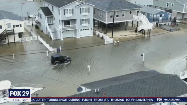
Egg Harbour Flooding
Keyport

The Squan

XMAS EVE COLD
Record Cold Christmas Eve in NYC too. https://t.co/n4bZP9Wmwp
— NY NJ PA Weather (@nynjpaweather) December 25, 2022
Our Backyard!! Xmas eve peeps smashed record low and high temperatures.
High temperatures yesterday:
Central Park 15°F
LaGuardia 16°F
Kennedy 16°F
Islip 16°F
Newark 17°F
Bridgeport 16°F.We smashed the record low highs at all the airports. #nywx #njwx #ctwx https://t.co/7M9Ugxc15Y
— Miguel Pierre (@mpierre19) December 25, 2022
I had a temperature drop of 52 degrees between 7AM Friday and 7AM Saturday. My temperature went from 57* Friday 7AM to 5* Saturday 7AM!!! I had a 23 degree drop in temperature bewteen 3:30PM at 46 dgrees to 23 dgrees at 5:30PM!!
Major Thaw then….
We have as I stated last Friday that we have a major warm up, thaw. This is to be expected after a massive cold spell.
This warm up will last through the 1st week of January and then we look to head back to a winter and it may be a ferocious return by mid-January which is the beginning of the heart of winter. Some are comparing it to 2014-15 winter that started in mid-January and ran though until late March. I’ll take 6-8 weeks please and then get a transition to Spring please but I have no control over this.
Redaction: I said that it was going to be as cold since Washington crossed the Delaware but our resident ALQ weather weenie history teacher Kuz said that the temperature was noted by documents to be in the low 30’s and that there was no ice on the Delaware in the form of ice bergs and no way did a general stand up in a row boat with an enemy onshore!! A german painter painted that famous picture.
Enlarge this imageClick to see fullsize

Hunga Tonga WV (water vapor) release into our atmosphere which is massive of upon itself.
Enlarge this imageClick to see fullsize

Sigma +6 heat flux which again is huge in the orangy right side of the chart/diagram.
If this verifies its a MASSIVE heat flux of warmth at ALL levels of the Stratosphere which would result in down welling of cold air from the Arctic into the mid latitudes and southern latitudes as well like we just experience but in the heart of winter. Time will tell for sure.
Be grateful for all that you have, life is short and we only pass through this place we call Earth, home once, one time. Make the most of it, enjoy it, treasure it and thank God for the opportunities and everthing he grants you.
Updates to come.
AL Q

